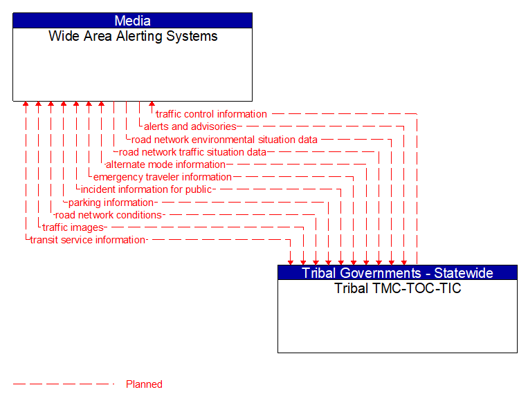
Interface: Wide Area Alerting Systems - Tribal TMC-TOC-TIC
Information Flow Definitions
alerts and advisories (Planned) Selected Comm Solution
Assessments (general incident and vulnerability awareness information), advisories (identification of threats or recommendations to increase preparedness levels), and alerts (information on imminent or in–progress emergencies). This flow also provides supporting descriptive detail on incidents, threats, and vulnerabilities to increase preparedness and support effective response to threats against the surface transportation system.
alternate mode information (Planned) Selected Comm Solution
Schedule information for alternate mode transportation providers such as air, ferry, and passenger–carrying heavy rail. This also includes details of incidents and other service disruptions that have occurred in the alternative mode. This also includes measures of service demand that supports assessment of their impact on the road network.
emergency traveler information (Planned) Selected Comm Solution
Public notification of an emergency such as a natural or man–made disaster, civil emergency, or child abduction. This flow also includes evacuation information including evacuation instructions, evacuation zones, recommended evacuation times, tailored evacuation routes and destinations, traffic and road conditions along the evacuation routes, traveler services and shelter information, and reentry times and instructions.
incident information for public (Planned) Selected Comm Solution
Report of current desensitized incident information prepared for public dissemination.
parking information (Planned) Selected Comm Solution
General parking information and status, including current parking availability, parking pricing, and parking space availability information, including features like number and type of electric charging spots.
road network conditions (Planned) Selected Comm Solution
Current and forecasted traffic information, road and weather conditions, and other road network status. Either raw data, processed data, or some combination of both may be provided by this flow. Information on diversions and alternate routes, closures, and special traffic restrictions (lane/shoulder use, weight restrictions, width restrictions, HOV requirements) in effect is included.
road network environmental situation data (Planned) Selected Comm Solution
Aggregated environmental situation data collected from vehicles and other sources for the road network. Aggregated information would include measured air temperature, exterior light status, wiper status, sun sensor status, rain sensor status, traction control status, ALB status, and other collected vehicle system status and sensor information for the region.
road network traffic situation data (Planned) Selected Comm Solution
Aggregated route usage, travel times, and other aggregated data collected from probe vehicles that can be used to estimate current traffic conditions.
traffic control information (Planned) Selected Comm Solution
Represents the flow of traffic control and status information between centers. This is reporting only, not actual control. This specifically includes the current state of any demand management strategies that have been implemented.
traffic images (Planned)
High fidelity, real–time traffic images suitable for surveillance monitoring by the operator or for use in machine vision applications. This flow includes the images. Meta data that describes the images is contained in another flow.
transit service information (Planned) Selected Comm Solution
Transit service information including routes, schedules, and fare information as well as dynamic transit schedule adherence and transit vehicle location information.