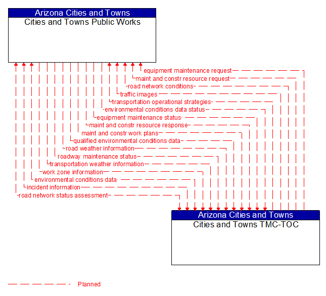
Interface: Cities and Towns Public Works - Cities and Towns TMC-TOC
Information Flow Definitions
environmental conditions data (Planned) Selected Comm Solution
Current road conditions (e.g., surface temperature, subsurface temperature, moisture, icing, treatment status) and surface weather conditions (e.g., air temperature, wind speed, precipitation, visibility) as measured and reported by fixed and/or mobile environmental sensors and aggregated by the data collector. Attributes relating to the data collection (and aggregation) are also included.
environmental conditions data status (Planned) Selected Comm Solution
Status of the data quality of environmental conditions data provided by a data contributor. Includes not only status by sensor, but statistical data regarding the quality checking of data provided.
equipment maintenance request (Planned)
Identification of field equipment requiring repair and known information about the associated faults.
equipment maintenance status (Planned)
Current status of field equipment maintenance actions.
incident information (Planned) Selected Comm Solution
Notification of existence of incident and expected severity, location, time and nature of incident. As additional information is gathered and the incident evolves, updated incident information is provided. Incidents include any event that impacts transportation system operation ranging from routine incidents (e.g., disabled vehicle at the side of the road) through large–scale natural or human–caused disasters that involve loss of life, injuries, extensive property damage, and multi–jurisdictional response. This also includes special events, closures, and other planned events that may impact the transportation system.
maint and constr resource request (Planned) Selected Comm Solution
Request for road maintenance and construction resources that can be used in the diversion of traffic (cones, portable signs), clearance of a road hazard, repair of ancillary damage, or any other incident response. The request may poll for resource availability or request pre–staging, staging, or immediate dispatch of resources.
maint and constr resource response (Planned) Selected Comm Solution
Current status of maintenance and construction resources including availability and deployment status. General resource inventory information covering vehicles, equipment, materials, and people and specific resource deployment status may be included.
maint and constr work plans (Planned) Selected Comm Solution
Future construction and maintenance work schedules and activities including anticipated closures with anticipated impact to the roadway, alternate routes, anticipated delays, closure times, and durations.
qualified environmental conditions data (Planned) Selected Comm Solution
Current road conditions (e.g., surface temperature, subsurface temperature, moisture, icing, treatment status) and surface weather conditions (e.g., air temperature, wind speed, precipitation, visibility) that has had quality checks performed on it and has been formatted and consolidated by the Clarus system. Attributes relating to the data collection (and aggregation) are also included.
road network conditions (Planned) Selected Comm Solution
Current and forecasted traffic information, road and weather conditions, and other road network status. Either raw data, processed data, or some combination of both may be provided by this flow. Information on diversions and alternate routes, closures, and special traffic restrictions (lane/shoulder use, weight restrictions, width restrictions, HOV requirements) in effect is included.
road network status assessment (Planned) Selected Comm Solution
Assessment of damage sustained by the road network including location and extent of the damage, estimate of remaining capacity, required closures, alternate routes, necessary restrictions, and time frame for repair and recovery.
road weather information (Planned) Selected Comm Solution
Road conditions and weather information that are made available by road maintenance operations to other transportation system operators.
roadway maintenance status (Planned) Selected Comm Solution
Summary of maintenance fleet operations affecting the road network. This includes the status of winter maintenance (snow plow schedule and current status).
traffic images (Planned)
High fidelity, real–time traffic images suitable for surveillance monitoring by the operator or for use in machine vision applications. This flow includes the images. Meta data that describes the images is contained in another flow.
transportation operational strategies (Planned) Selected Comm Solution
Operational strategies for each operating agency in a transportation corridor, downtown area, or other travel–impacted area, providing an integrated operations strategy for the freeways, tollways, arterials, transit services, parking facilities, and other transportation–related facilities in the area. These strategies can include dynamic adjustments to transit fares and tolls, parking fees and restrictions, dynamic lane restriction changes, and other active demand management strategies.
transportation weather information (Planned) Selected Comm Solution
Current and forecast road conditions and weather information (e.g., surface condition, flooding, wind advisories, visibility, etc.) associated with the transportation network. This information is of a resolution, timeliness, and accuracy to be useful in transportation decision making.
work zone information (Planned) Selected Comm Solution
Summary of maintenance and construction work zone activities affecting the road network including the nature of the maintenance or construction activity, location, impact to the roadway, expected time(s) and duration of impact, anticipated delays, alternate routes, and suggested speed limits. This information may be augmented with images that provide a visual indication of current work zone status and traffic impacts.