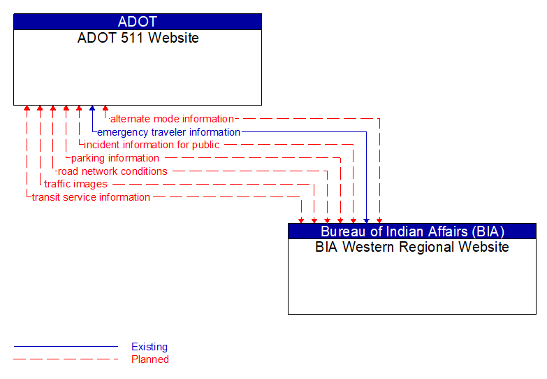
Interface: ADOT 511 Website - BIA Western Regional Website
Information Flow Definitions
alternate mode information (Planned) Selected Comm Solution
Schedule information for alternate mode transportation providers such as air, ferry, and passenger–carrying heavy rail. This also includes details of incidents and other service disruptions that have occurred in the alternative mode. This also includes measures of service demand that supports assessment of their impact on the road network.
emergency traveler information (Existing) Selected Comm Solution
Public notification of an emergency such as a natural or man–made disaster, civil emergency, or child abduction. This flow also includes evacuation information including evacuation instructions, evacuation zones, recommended evacuation times, tailored evacuation routes and destinations, traffic and road conditions along the evacuation routes, traveler services and shelter information, and reentry times and instructions.
incident information for public (Planned) Selected Comm Solution
Report of current desensitized incident information prepared for public dissemination.
parking information (Planned) Selected Comm Solution
General parking information and status, including current parking availability, parking pricing, and parking space availability information, including features like number and type of electric charging spots.
road network conditions (Planned) Selected Comm Solution
Current and forecasted traffic information, road and weather conditions, and other road network status. Either raw data, processed data, or some combination of both may be provided by this flow. Information on diversions and alternate routes, closures, and special traffic restrictions (lane/shoulder use, weight restrictions, width restrictions, HOV requirements) in effect is included.
traffic images (Planned)
High fidelity, real–time traffic images suitable for surveillance monitoring by the operator or for use in machine vision applications. This flow includes the images. Meta data that describes the images is contained in another flow.
transit service information (Planned) Selected Comm Solution
Transit service information including routes, schedules, and fare information as well as dynamic transit schedule adherence and transit vehicle location information.